
|
|

|
|

CLICK picture
to get to the bridge (GGB)!

Area map found at Fisherman's Wharf (2015-10-28)

And what exactly is
Marin County?
Sevärdheter i Marin County
Parker
och naturreservat
Karta över
Marin
County

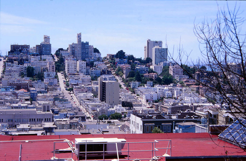
Looking towards San Francisco
View from San Mateo area October 2015

Looking towards
San Francisco
View from San Mateo area October 2015

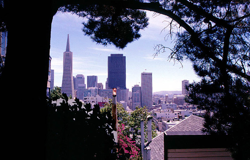
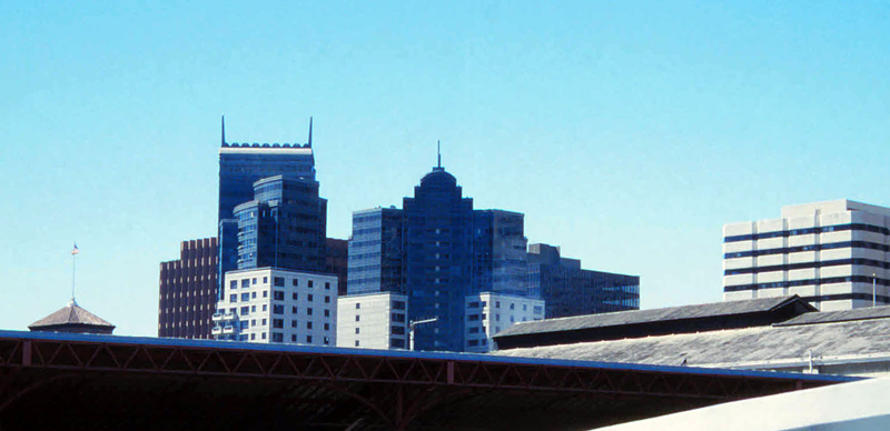
San Francisco downtown, when viewed from Tiburon (2015-10-29)


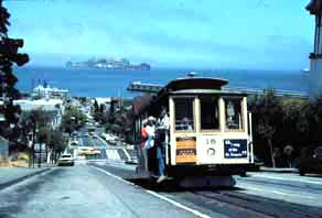
Cable car going north, with short stop ahead (2015-10-28)

1978

1978

Alcatraz 2015-10-28

View from Fisherman's Wharf October 2015

2015-10-28


2015-11-02
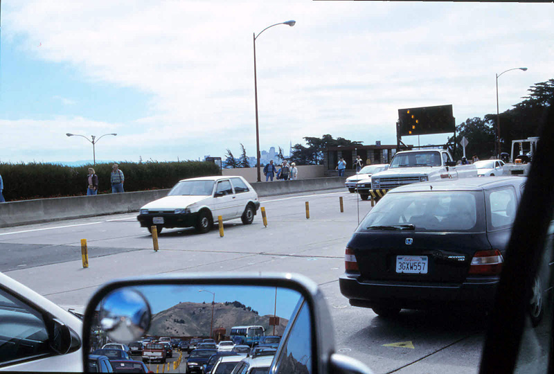
Photograph from the early 1990s
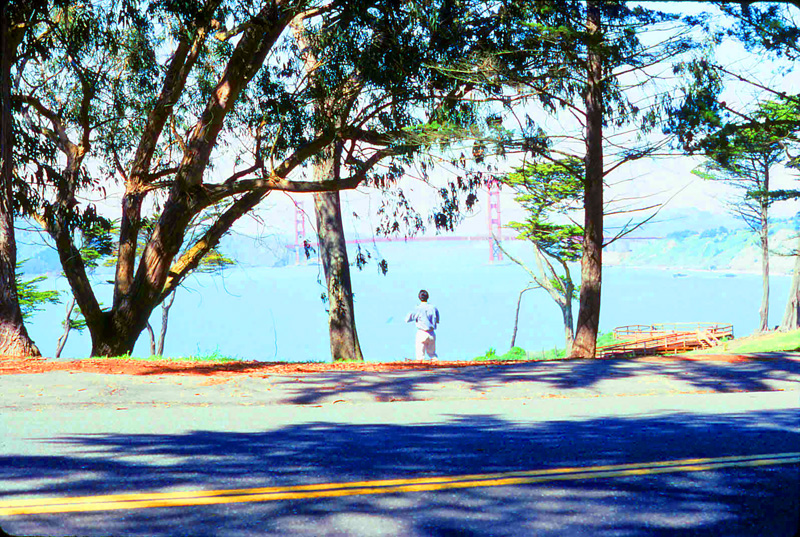
Photograph from the early 1990s
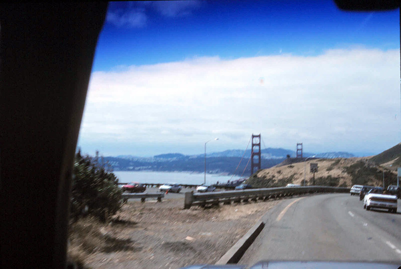
Photograph from the early 1990s

|
|
UC San Francisco is
driven by the idea that when the best research, the best education and the best
patient care converge,
great breakthroughs are achieved.
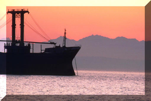
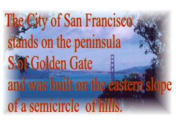
This photo is shot from SW of GGB (the Golden Gate Bridge)
Below
the twin peaks of Las Papas is Mission Dolores, built in 1778 during the Spanish
days.
Spanish settlers (soldiers & missionaries) were first here in 1776 and
the US flag was hoisted 1846.
Gold
was discovered in 1848. The great gold rush that followed raised the population
figures from about 900 to 20,000 in one year!
On April 18 in 1906 came the great earthquake
followed by a 3-day fire. Approximately 2000 acres were devastated in this fire.
The city was "born of the meeting of sea captains and gold seekers" and is one of the most cosmopolitan cities in the world.
Market Street starting at the Ferry Building runs 3 miles SW and is a major business route, 120 ft wide.
Lombard Street is a major route driving from the GGB area to Van Ness Avenue.
Van Ness Avenue links Fort Mason with the Downtown area.
-Why
not Frisco, in case
you wonder?
[Photograph from the early 1990s]
S.F. Chronicle - Nyheter & News for a major portion of the Bay Area
The Presidio occupies the northern part of the peninsula closest to the Golden Gate Bridge, basically a military post and an active part in protecting the Gate, making the entrance to the harbor impregnable.
The reservation of 1,500 acres is an open park area for the citizens. However, it's surpassed by the Golden Gate Park of 1,014 acres which runs over the hills to the Pacific with semi-tropical vegetation and lakes.
Sooner or later you're likely to hear about "Barbary Coast" which used to be a legendary area in and around Pacific Street with saloons, dance halls, entertaiment of all sorts and amusement not only for the betterment of man. Some say there's still "some action" down and around that area, or perhaps more on Broadway, but who knows...
There are many high-class hotels in the City. One is still the old and reputable Fairmont Hotel up on Nob Hill with a beautiful view over the Bay.
Interested in more good news sources? Click at News!
-Do you need online dictionaries? -Click here if you do!
-Try our online dictionaries; Computer, Business, Logistics, Automotive and Food
-Interested in learning,
or teaching, Swedish and
English at the same time?
Meet Dirty Harry, Don Siegel's classic 1971 (a cop and psycho movie) on a tour in San Francisco
A few majors first; Golden Gate Bridge, GGB, connects the City of San Francisco with the county of Marin, and most of Marin County is, to most of us, north of San Francisco.
San
Francisco Bay, 50 miles long and 5 miles broad, has access to the Pacific
Ocean only through a strait 5 mile long and one mile wide, the far famed
Golden Gate.
 We’re going north or drive north mostly by means of Hwy
101 (US 101), and that’s the highway crossing the Gate, or the Golden
Gate Strait. Going north on the 101 can take you to Fortuna and Eureka and
lots of other places.
You hear and see a lot of the Bay, the San Francisco Bay, while in Bay Area, and understandably so as it really is a vast area of water, all the way from just north of San Jose (Mountain View) in the south to way up north, passing San Quentin Prison and Richmond Bridge and reaching all the way north to where it pretty much meets with Hwy 37, and here it's turned into San Pablo Bay.

![]() Hwy
37 is your link between Hwy 101 and Napa Valley, Vallejo, Interstate 80
(I-80), Interstate
5 (I-5) and even to the state’s distant capital, Sacramento. Interstate 5
(I-5) is the one to use going distances such as anything in between the City
of San Francisco and Los Angeles, or between the City
of San Francisco and Mount
Shasta or Portland, Oregon for that matter.
Hwy
37 is your link between Hwy 101 and Napa Valley, Vallejo, Interstate 80
(I-80), Interstate
5 (I-5) and even to the state’s distant capital, Sacramento. Interstate 5
(I-5) is the one to use going distances such as anything in between the City
of San Francisco and Los Angeles, or between the City
of San Francisco and Mount
Shasta or Portland, Oregon for that matter.
Interstate Highway
5 runs roughly parallel to Hwy 101, both run south to north, or north to south,
but Interstate 5 is located more eastward, and is of course much faster, wider
and will swallow a lot more traffic with a lot less traffic-jams than Hwy
101, which must be taken into consideration when driving a longer
distance at work, or to work, or simply running errands.
Hwy 101 is nicer, gives you more scenery and views,
guides you into, in and around the City,
but for those in love with the Pacific,
nothing beats Hwy 1 which is closest
to the Pacific Ocean.
Passing south on the Golden Gate Bridge,
remember if you want to go to the International
Airport, pick 19th Ave
Exit just south of the bridge, on your right, and then be alert
going south through Golden Gate Park etc. because if you go with the flow
it'll take you onto 280 South which usually is a smoother ride and the best
bet when driving to the airport. You'll see an exit sign for SFO Int'l Airport
and 101.
If you're on your way Downtown you might want to stick to Lombard
going east and make a right at Van Ness
going south, whether you'll be going to Market
Street, Geary or Broadway
or to some other street in the central downtown area.
If you're just out driving or sightseeing you might want to stay on Lombard
going east until you get up on Nob Hill.
There is some nice scenery from up there and you're likely to see one or two
cable cars in the progress.

If you're going down to Fisherman's Wharf
area; Beach, Mason
or Columbus, or further down along
the old docks along the north-eastern waterfront, or even "down-a-ways"
towards Bay Bridge, stick to Marina,
Bay and Beach Exit.
If you live in, drive from, or is commuting from, Marin (Marin County) or even someplace further north and you're headed to an East Bay location such as Berkeley, Oakland, Hayward or Fremont, you should definitely try Richmond Bridge via one of the 101-exits at San Rafael or Sir Francis Drake and after crossing the bridge stay on I-80 and 580, and use 980 through Oakland down south if you want to be close to the Bay.
I-80 can take you from San Francisco, via Bay Bridge, to Sacramento.
Sometimes it really pays off to stick to
the waterfront, even when going downtown to the Financial District
etc.
By the way, did you know Jack London was born close to the docks. Look for the plaque on the office building at the corner of Third and Brannan! Of course that building, the original building, burned down in the fire 1906. This isn't far from the new ballpark, Pac Bell Park.
Now, if Silicon Valley is of interest to you for some strange reason, you want to go south of the City. Look for Palo Alto, Mountain View & Sunnyvale. Use 280 or 101 going south to southeast.
Hungry?
Best
Bay Area Dining Spots
BayInsider.com
picks the best restaurants in the Bay Area by category, including most romantic,
sushi, pizza, Chinese, Thai, Vietnamese and more. You can also add your own
review or suggest a new restaurant.
Best
of San Francisco - SF Weekly
Search under categories such as food and drink, people and places, and goods
and services. Read reviews.
Moose's 1652 Stockton St, San Francisco, CA 94133 415-989-7800
Where
Herb Caen would be tonight if he was still alive. This place has a great view, great clientele
and very good American food.
Overlooking Washington Square in the heart of North Beach.
[5:30 p.m. to 10
p.m. Mon. - Wed.; 11:30 a.m. to 11 p.m. Thu. - Sat.; 10 a.m. to 10 p.m. Sun.]
Links
to the best sites
featuring photography of the city of San Francisco including Cinco de Mayo,
murals, the Golden Gate Bridge and architectural photos of The City.
Otis Redding and "Dock of the Bay"...
..."during
a week he had spent on a houseboat in Sausalito when performing at San
Francisco's Fillmore West Theater in the summer of 1967. Just sittin' on the
dock, looking out at the bay, it's easy to see where Otis got the inspiration
for the song, "(Sittin' On) The Dock Of The Bay"."
Bars & Clubs
|
|
The Best Places & People
The Best Food,
Bars & Restaurants
RETURN
TO HOME (=STARTSIDAN)
OR GO TO LEXIKON
(=DICTIONARIES)
Back
up-Top of Page (=Högst upp på sidan)
 |
 |
|
|
|
 |
|
 |
|
|

© Swengelsk, KB ® webmaster |
|
|
 |